Day 37, July 27
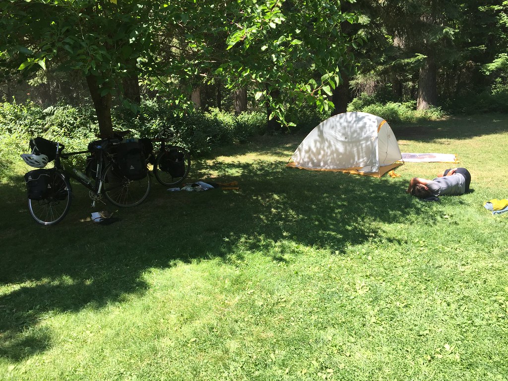
rest day, Missoula, MT
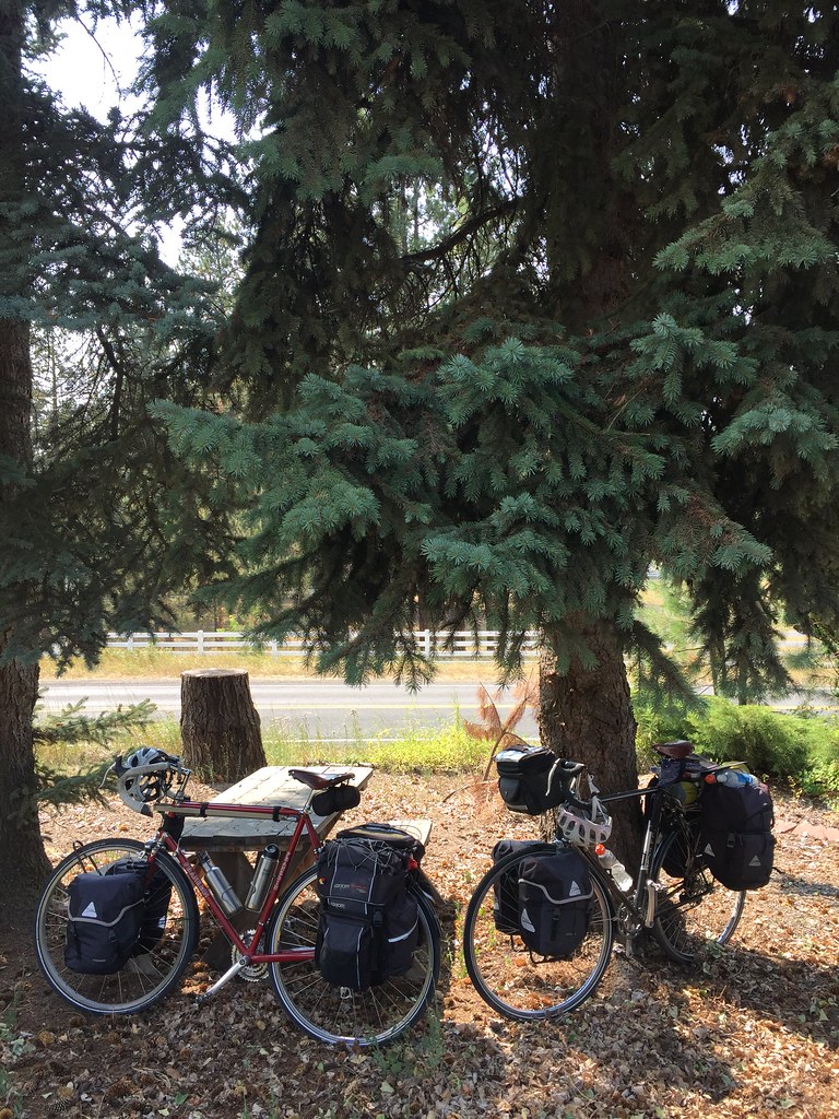
Today was a rest day in Missoula.
Day 38, July 28
rest day, Missoula, MT
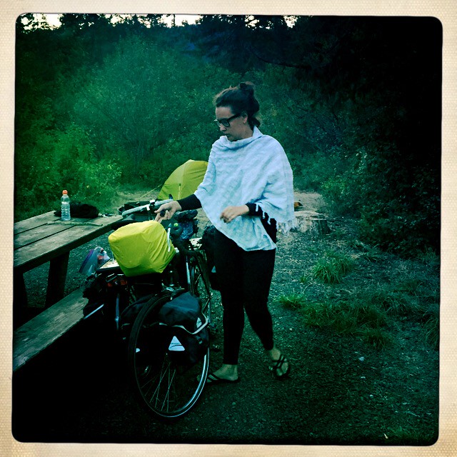
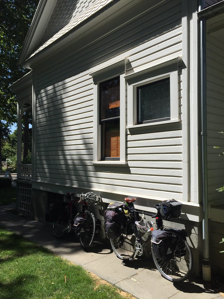
Today, we visited the Adventure Cycling headquarters in Missoula.
In 1976, I saw an article from a 1973 National Geographic magazine featuring a story about Greg Siple and 3 others who cycled from Alaska to Missoula, MT. This inspired me to write the magazine and ask for his address. They sent it to me and I wrote him a letter asking him about touring and cycling equipment. He wrote me a hand written letter that explained the details and organized a Bike BiCentennial bicycle ride across the U.S. and later went on to start the Adventure Cycling organization. This non profit organization is a national clearinghouse for cycling maps and information on bicycle touring across the U.S.
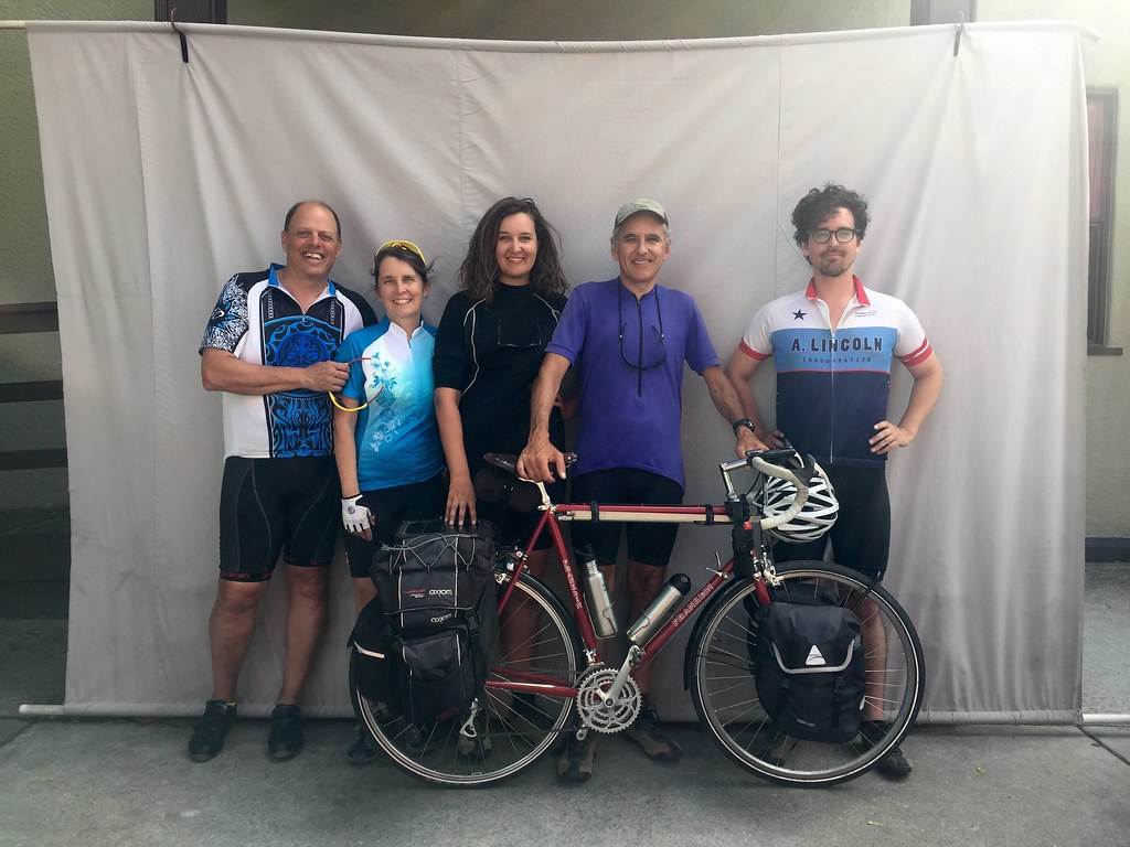
As we were passing through Missoula, we stopped by the office and I shared my story and also showed them a copy of the letter I kept all these years. The staff called Greg over and I showed him the letter as well and we got the royal treatment and tour of the headquarters! It was really fun to meet him and share our project with the group and also our story of how his kind gesture so many years ago inspired me to a life long passion for cycling. We also gave Greg one of the survey medals we have been marking spaces with across country. It was also really great to participate in the tradition of having our photographs taken alongside our bicycles to go into the cross country archive of cyclists from around the world who are cycling across the U.S. Thanks to the vision of Greg Siple and the Adventure Cycling organization he started, planning our route and journey was so much easier. Thank you!
Day 39, July 29
rest day, Missoula, MT
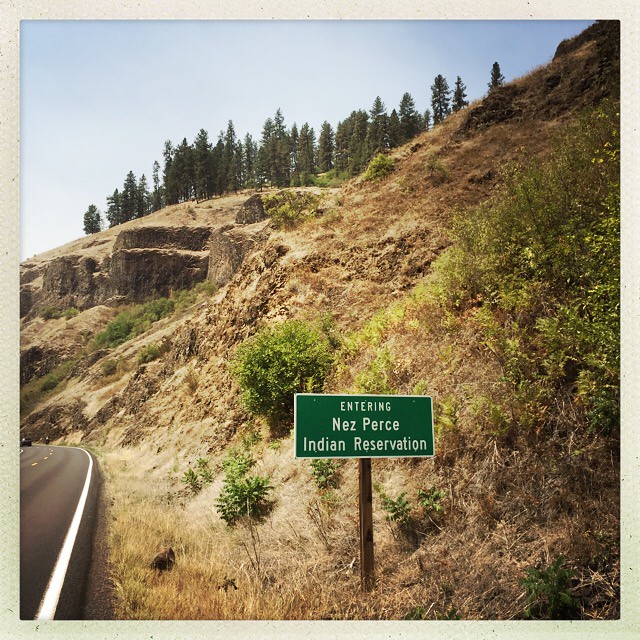
Today we scouted out our route through Idaho and also visited a hot springs in the Lolo National forest. When we take off tomorrow we will enter the national forest and then pass through the Nez Perce Reservation.

Day 40, July 30
35 miles, Lolo Hot Springs, MT
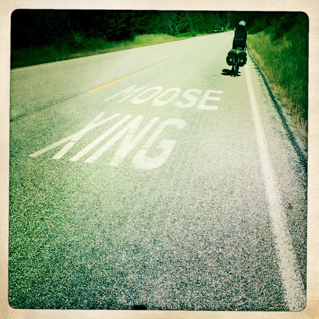
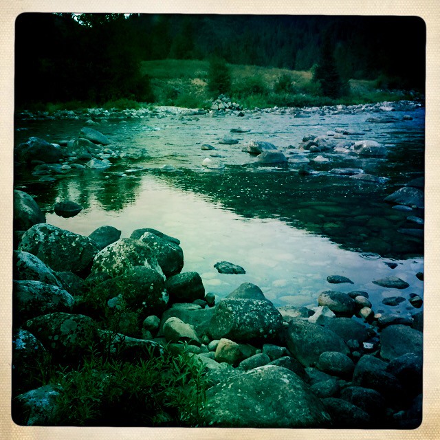
Today was a quick day and we started in the cool temperatures of the morning! The view is amazing as we follow the trail the Nez Perce took to their buffalo hunting grounds east of the Bitterroot Mountains. They were hospitable to Lewis and Clark and the corps when they passed through the area. In just 70 years they were being forced onto a smaller reservation when their original land was deemed valuable for gold mining. The description of friendly to hostile occurred fairly quickly after the landscape was seen as valuable. Their escape route to Montana was repeatedly being attacked and Chief Joseph was effectively moving east and trying to put aggression behind him. It seems as though he was able to work with the other tribes and even Americans in the area but Washington and the army was adamant to put an end to his independence. The bureaucratic decisions tragically created more violence and trauma to the native people in Idaho and Montana. At a location not far from the hot springs is the site of Ft. Fizzle. Appropriately named as an action by a volunteer militia fizzled out here when the Nez Perce were able to walk around barricades erected to halt their escape east. We put a survey marker not far from this location.
Day 41, July 31
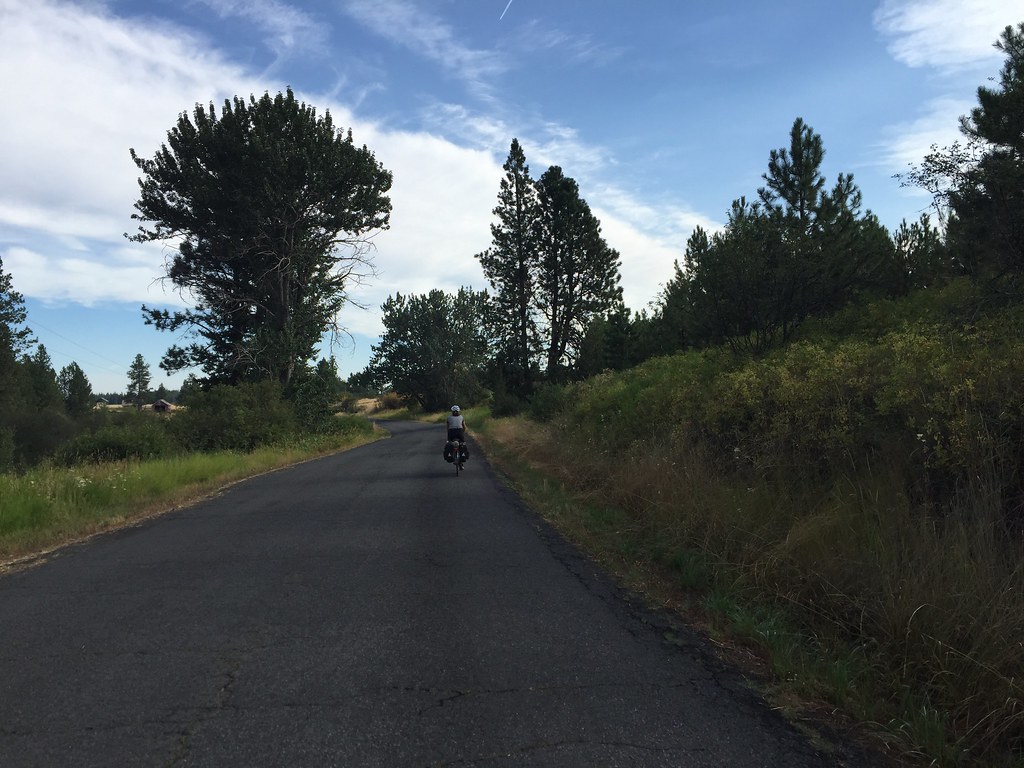
30 miles, Lochsa, ID
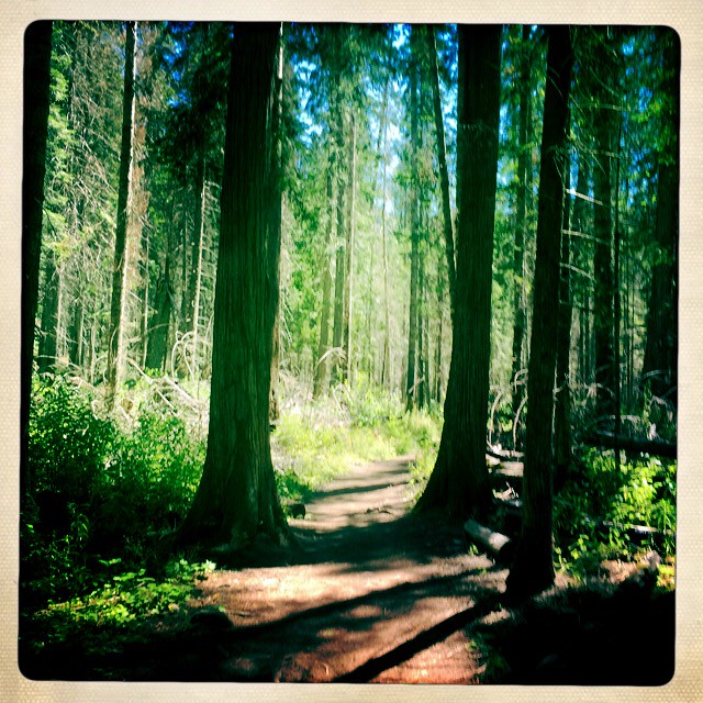
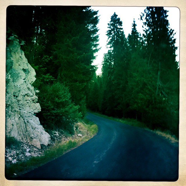
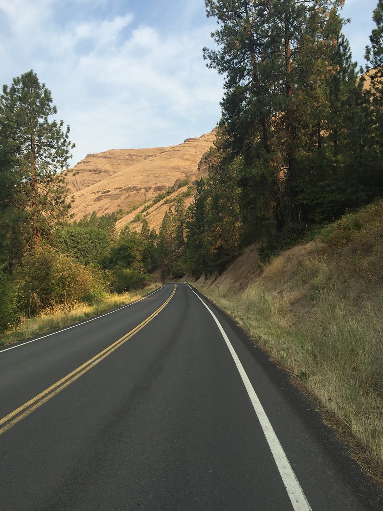
It must have been 40 degrees last night. This morning it was incredibly cold and we were wearing arm warmers, long sleeve shirt over a shirt, wool sweater, wool gloves, and a neck scarf when we left. It seemed to stay cool all morning and I actually looked forward to climbing Lolo Pass to warm up. Again, we are reminded of Chief Joseph’s plight as we follow the route over the pass. This is some of the most incredible country we have passed through as we enter the Clearwater National Forest in Idaho just over the pass. When Chief Joseph was described as being hostile his response was basically, ‘why would I be hostile,- I have my horses and this great country’. There is no reason to be hostile in this landscape and I can’t imagine conducting any military maneuvers in this area as it is filled with dense forest, mountains and streams. About all that could happen here is to camp and fish,- which is basically what the Nez Perce did in this region. The views (without the roads) are easy to imagine looking like what they might have looked like 200 years ago. Tomorrow, we will also camp in the National Forest but the elevation is a bit lower in Idaho.
Day 42, August 1
40 miles, Wilderness Gateway, Clearwater-Nez Perce National Forest, ID
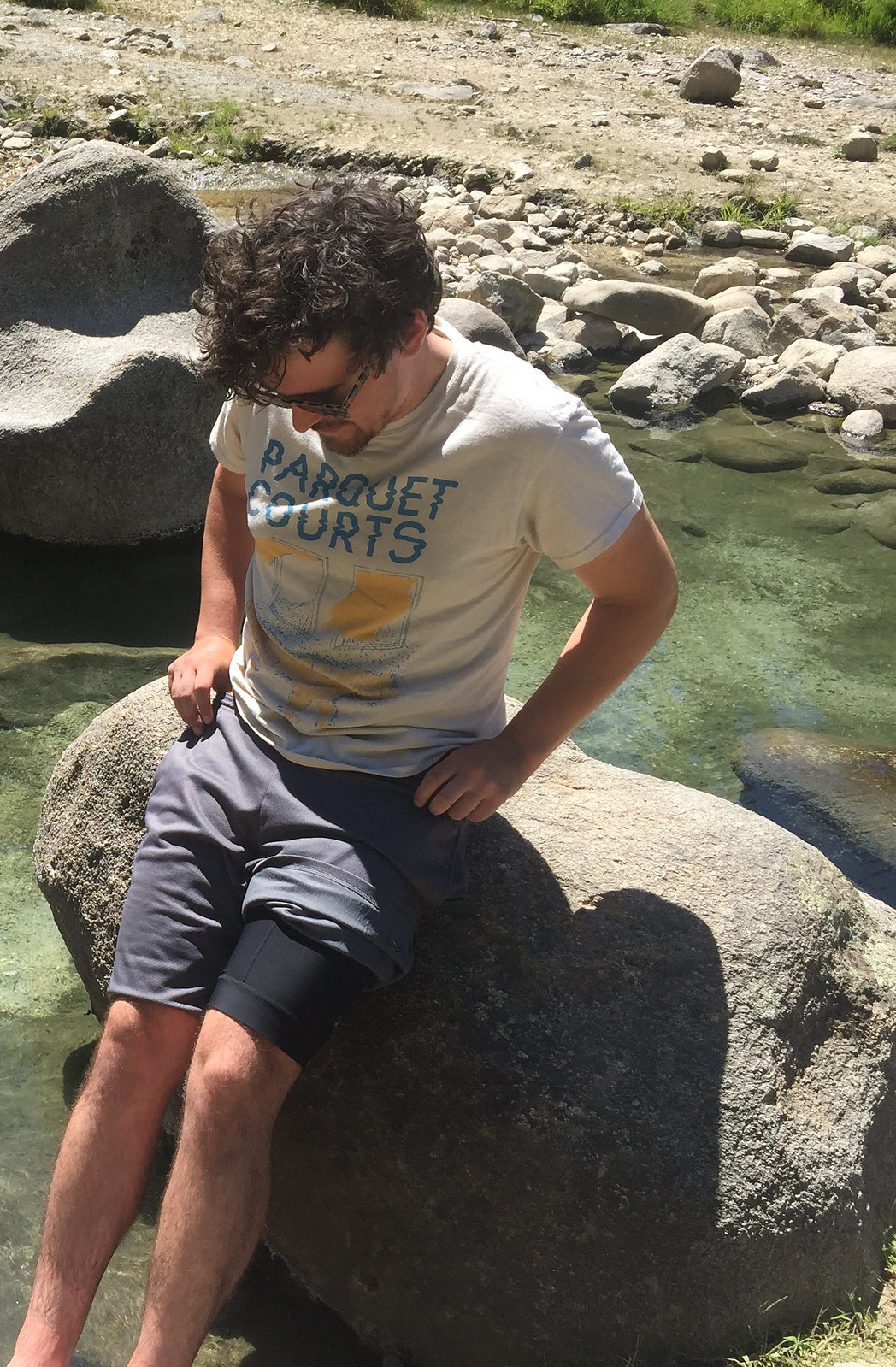
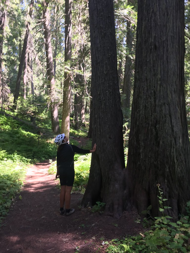
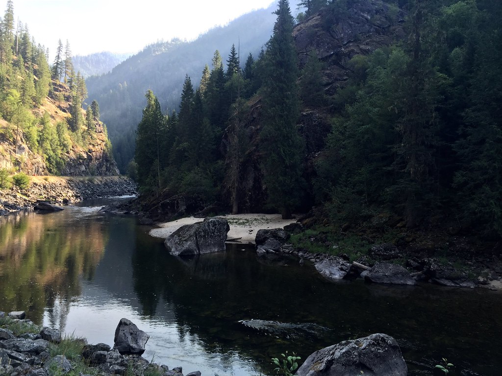
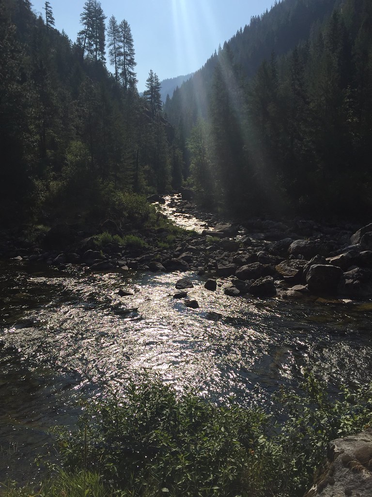
This area is one of the most beautiful places I have ever ridden through. Keeping our days a little shorter in mileage as we go through the passes makes them less grueling and gives us time to really photograph the area. The landscape keeps getting more and more remote and we haven’t seen any towns or any signs of commercial activity. The route follows the Lochsa River as it meanders through the mountain gaps. The National Forests are even quieter than the National Parks as they don’t usually have any amenities or water. Today, we are blessed with a water spigot and don’t have to filter our water from the river. As the temperature climbed to the upper 90’s we found our campsite along the river and jumped in to cool off in the shallow pools. Usually the mountain trout streams are really cold but the shallows warmed up nicely. Lewis and Clark described this area so vividly and the peace medals that Jefferson gave the Corps to hand out to the Native people were taken very seriously. Within seventy years however, the conquest of Native lands was fully underway. Lolo Pass today is remembered with sadness by the Nez Perce people and the route through the area, though it is part of Lewis and Clark’s return journey, is now also recognized by the National Park Service as the Nez Perce Historic Trail. It follows their retreat all the way to Yellowstone Park and north to just short of the Canadian Border in Montana.
Day 43, August 2
55 miles Kamiah, ID
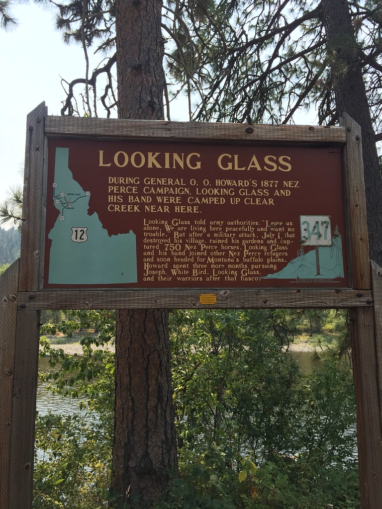
We started the day wearing wool gloves and wool jacket and ended with 105 degrees outside! We are descending and leaving the higher elevations but in the mean time going through some of the most dramatic and rugged wilderness we have seen in over 1000 miles. The Lochsa River running through Idaho keeps on getting more and more dramatic as we wind our way through the canyon lands. The rapids are very quick and clear. Occasionally we see trout fishing going on and this area and it seems like it would be the best in the U.S.! We continue to follow the Nez Perce historic trail and today we entered the Reservation. We continue to see historic signs of General Howard’s campaign against the tribe in 1877. We reached a site where a village was burned, horses stolen and gardens destroyed. The Idaho Historic Society was responsible for marking these areas and I noticed that the wording of the signs has changed significantly as this last marker referred to Howard’s work as a fiasco. Nothing was accomplished by his efforts accept for destruction of property as the Nez Perce continued to avoid subjugation and adamantly stated their intention was to avoid conflict, preserve their religion, and way of life.
Day 44, August 3
Rest day, Kamiah, ID
Kamiah is location of the National Park site, Heart of the Monster. This is the site of the Nez Perce creation story. It is said that a Monster was swallowing all the animals in the landscape. In the story, the trickster Coyote persuaded the Monster to swallow him as well. Coyote then cut himself out of the belly and freed all of the animals. Upon emerging, he cut up the remains of the Monster and dispersed it across the land creating the Indian people. Fox then asked Coyote about the empty space immediately around the remains and why it had no people. As Coyote washed the blood from his hands, the drops of blood that fell formed the Nez Perce people. This is their sacred site and the mound is said to be the heart and liver of the the Monster’s remains.
Day 45, August 4
45 miles, Winchester, ID
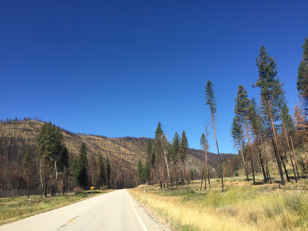
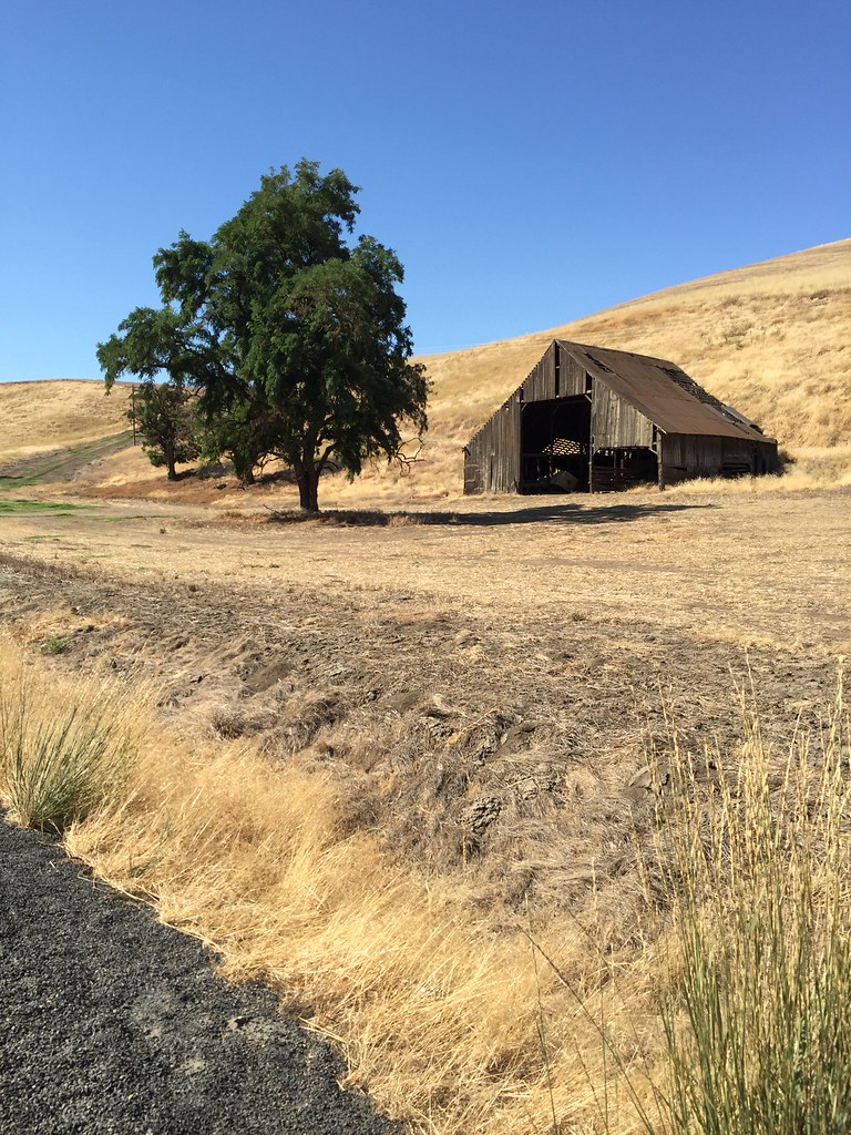
This morning we climbed 2000′ out of Kamiah. That took us some time and it was nice to have cool weather finally to do that. This valley is holding a haze that is due to all the forest fires in Washington and Oregon. I never think about this usually but the dryness, wind, and heat are big factors in determining how we are going to travel each day. We are always at the mercy of the environment when we are on bicycles and I usually never think about these issues when I’m at home. The landscape looks like a high plains again but this time it has the added volcanic layer. The wheat fields are rolling ad the pines stands almost remind me of Sweden (if the fields were greener). We are still on the Nez Perce Reservation and we will be on it for another day. We are still following Lewis and Clark and the Nez Perce Trail and are reminded of it in unexpected places. We see signs posted that indicate campsites and and it is hard to believe that they stayed in some of these areas. The landscape they chose seems so exposed today and it must have been incredibly hot in the summer and freezing in the winter. Even today I don’t know how some people could get around in the Winter snows here, especially when I see the rolling gravel roads marked with signs posted,- ‘not maintained in the Winter’. Nearing Winchester the pines are getting thicker again and an unexpected lake popped up and the temperature stayed in the 70’s today! Nice.
Day 46, August 5
53 miles, Lewiston, ID
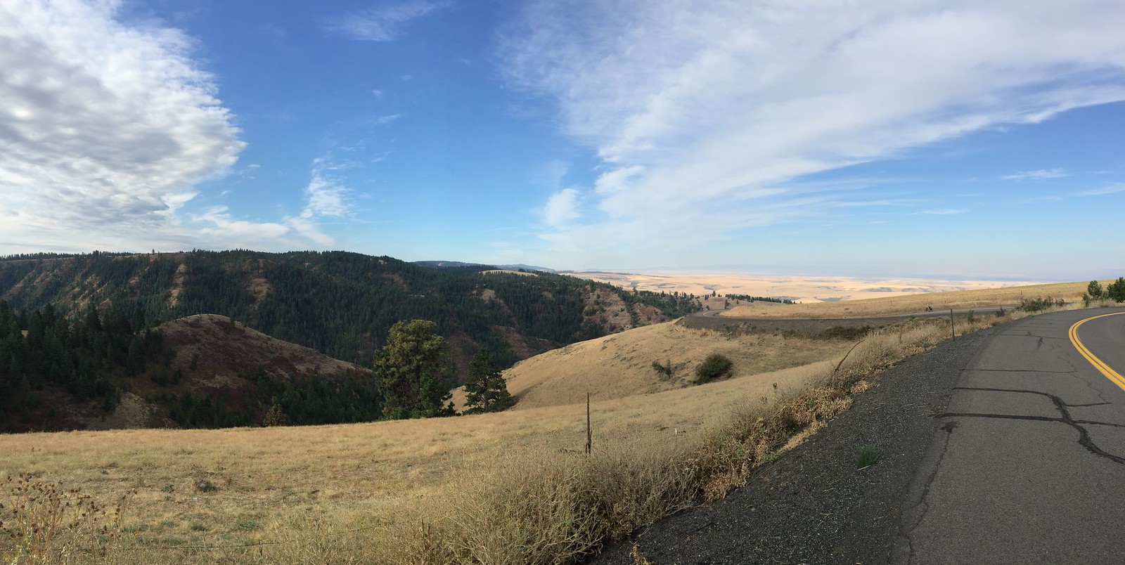
Most of the morning was spent on a descent of about 2000′. At first, I thought it was a cloud bank when I approached the valley but then I saw an amazingly open and expansive view thousands of feet up. It felt like we were flying in an airplane. The valley is covered with golden colored wheat and parched vegetation. From a distance, everything looks yellow. As we made our way down the intensely covered switch backs, the road leveled out. We stopped at the Nez Perce National Historic Park. The amount of area the tribe called home covers four states,- Idaho, Washington, Oregon, and Montana. Seeing the map of the area and knowing the connection to the Big Hole area of Montana brings us closer to the history because of our own slow trek across the landscape. We too have experienced the physicality of the landscape as we struggle over the passes and keep our eye out for water sources. Though we enjoy modern conveniences I feel there is a glimpse of understanding of how one can be tied to the land. Everyday, we monitor the temperature, look at the direction of the wind and also watch the sky for rain. Any one of these conditions can drastically change our plans and the outcome of our day.
Day 47, August 6
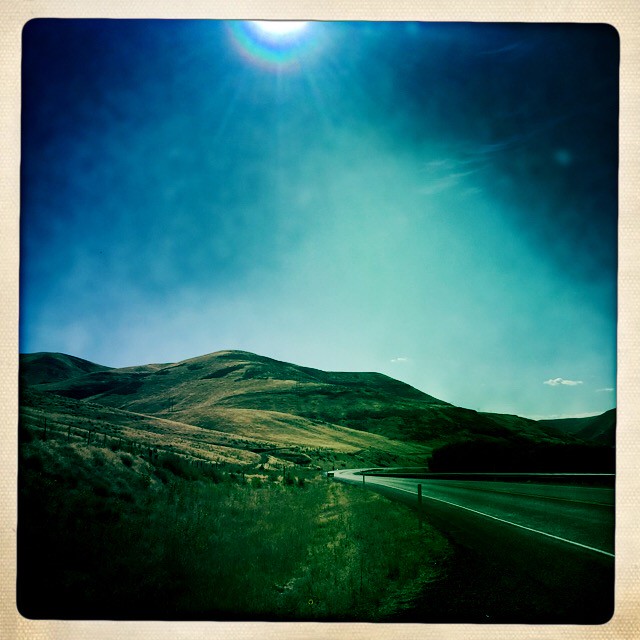
33 miles, Pomeroy, WA
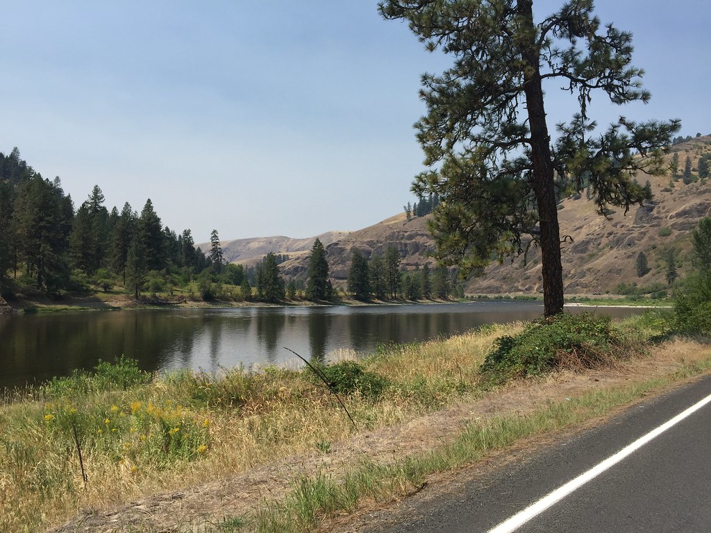
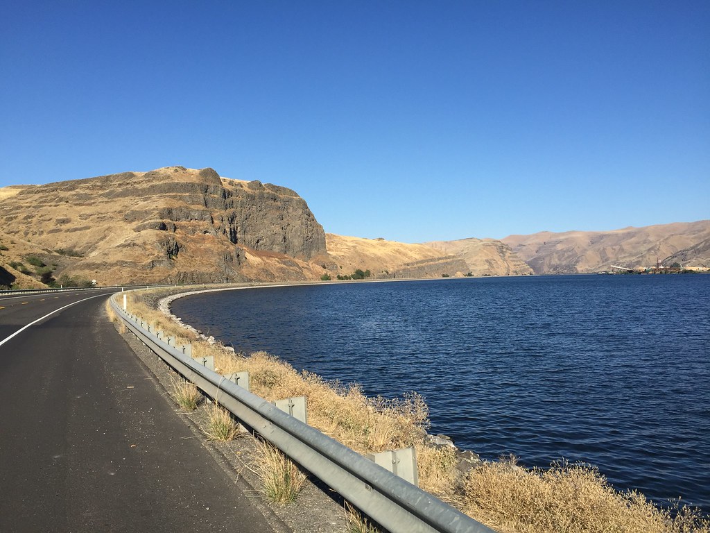
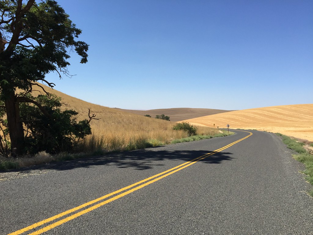
Our movement west along the Snake River took us into once again through another strange barren and beautiful landscape. The high ridges and hills are covered in dry wheat and range grass and both look golden in color. From a distance, it looks like an endless sand dune incapable of sustaining anything. Once inside the landscape, I can feel more apart of the space and it becomes more intimate. The coulees give rise to small oases of pine trees and what looks like elms. The area is very arid and doesn’t reveal any sense of the proximity of the Pacific Ocean (to my untrained eye.) The climb to Alpowa Summit isn’t even marked on the map because it is less than 3000′. We ended up making a 2000′ ascent nevertheless,- which is still a challenge on a bicycle. The temperature stayed in the upper 60’s most of the morning and I think they topped out around 75 degrees today. Our route is following the return route of Lewis and Clark and more specifically, the ‘Forgotten Trail’. This trail bisects the town of Pomeroy and moves southwest towards Walla Walla as it stretches from the Columbia River to the confluence of the Snake and Clearwater Rivers by present day Lewiston, Idaho. It was an overland shortcut that the Native people shared with Lewis and Clark. This time saving course is something that is often overlooked in the general history of the expedition but it sped up their return after a long wet Winter on the coast of Oregon. Again, the plaques commemorating the Corps of Discovery along the way make note of the friendliness of the Nez Perce people. How much the Native people were key to the success of the journey is so amazing and yet it seems to escape the awareness of the popular imagination about the Corps of Discovery.

Day 48, August 7
36 miles, Dayton, WA
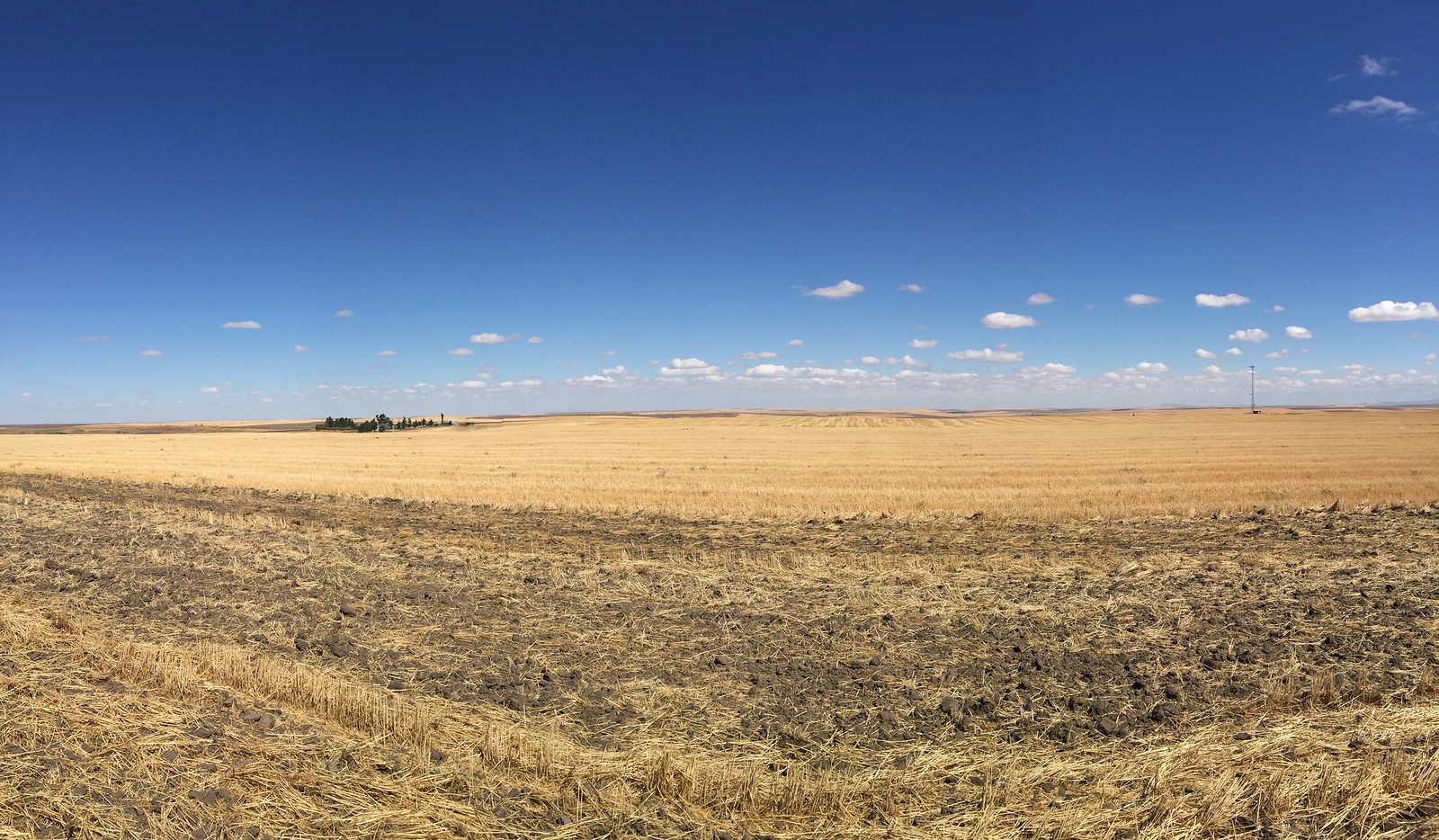
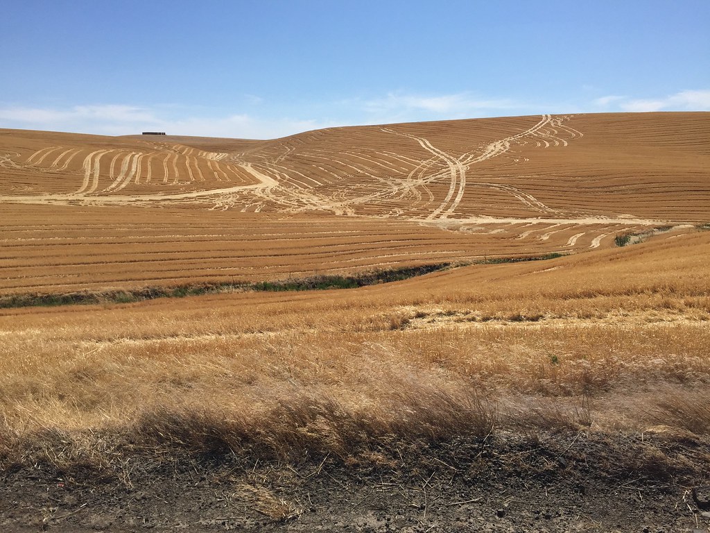
As we moved west this morning we were following rolling wheat fields and the Snake River. It looks pretty low and the drought makes everyone wary of forest fires. The risk at this time is pretty high.The landscape is very dry and the ground looks parched. We are moving along the boundary of what is referred to as the ‘Scablands’. About 14,000 years ago during the end of the last Ice Age, the inland lake around Missoula, Montana was damed up by glacier ice and it catastrophically gave way. The release of water was estimated to be half the amount of the volume of Lake Michigan. This flood created a series of coulees and land formations resembling Monument Valley in Arizona through the area in southeastern Washington. The torrent flowed westerly along the Columbia River Gorge. It is possible that Native Americans witnessed this event or possibly even were swept away by the water. Today, the land is covered in soft rolling hills and buttes that are dry in appearance and to a visitor, defy the notion of water being there. The flood left a topsoil that is over six feet deep and has created a rich agricultural region. I am told that the landscape is green in the early winter when the wheat is just planted and in the Spring. Now, however, everything is a golden color and it seems a bit odd to see farmland on the buttes above our heads when we are in town.
Day 49, August 8
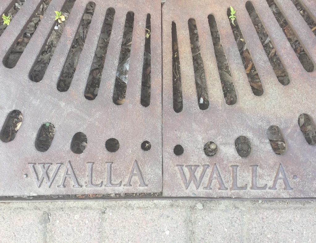
30 mile, Walla Walla, WA
A shorter day today, nevertheless we experience some headwinds going into the valley. A nice view again of the empty rolling wheat fields that we have been traversing for several days. I saw a cut back that revealed what looked like 10′ of topsoil. It is hard to believe this because of the dryness of the environment as this makes it seem as though this would be a desert. The rises are still significant but the hills seems to be more rounded a smooth compared to the east and revealing of the ancient flood. We keep getting warned of the high winds as we enter the Columbia River Gorge area. As we move southwest of Walla Walla, in a day we will enter the Columbis River landscape at Umatilla.
Day 50, August 9
Rest day, Walla Walla, WA
Comments 6
hi don + crew! i’ve been following your blog—what a wonderful journey! so glad it’s all going well. we’ll have some fun lunch conversations when you’re back! cheers, renate
Author
Renate, thanks for checking in! And yes, I do look forward to our future conversations. We were just 100 miles north of Yellowstone and I remembered our mutual love of Wyoming. This is sure beautiful country out here. Sorry for so late a response, as our wifi has been spotty at times, especially in rugged and beautiful Idaho!
-Don
Hi Don & Company! Wow, what an amazing trip you are on. The country you went through this past week is close to my heart and the anecdote you shared about Chief Joseph with his horses and that incredible country hits the mark. What more could anyone want? Safe travels! Best, Anne
Author
Yeah, Chief Joseph along with so many others were doing the best they could in the face of overwhelming intrusion. At the Little Bighorn Park in Montana for instance, the battlefield is marked with white marble stones where US soldiers fell and red marble stones inscribed with the saying, “defending the (Cheyenne) way of life”,- where they fell. So tragic all the way around.
Thanks for checking in on us Anne!
I just wanted to check in out of curiosity to see where Julia was (having received another out-of-office reply), but was totally captivated by the lovely daily journaling and photographs. How sad but meaningful to retrace the Nez Perce trail. Glad you are seeing so much beautiful country. Bike safe & stay cool!
Author
Hi Robin!
Thank you so much for checking in, it means a lot to us. The landscape has been unbelievable, and the history of westward movement is so fraught with confusion and pain and wonder. The United States is a strange place. I feel close to something but also far away from everywhere. See you soon.